Vietnam Weather by Month: Pick the Region First
Short answer: Vietnam does not have one climate. It has four, running on different calendars. Pick your region first, then pick the month.
North (Hanoi, Ha Long Bay, Sapa): best in October-November and March-April.
Central coast (Hue, Hoi An, Da Nang): best February to August. Avoid October-November.
South (Ho Chi Minh City, Phu Quoc, Mekong Delta): best December to March.
Central Highlands (Da Lat, Buon Ma Thuot): best November to April.
When should I visit Vietnam is almost never a question about the country. It is a question about one region, and the answer moves by more than a month depending on which one you mean. February is excellent in Ho Chi Minh City and cold, grey and cloud-bound in Sapa, 1,600 km north.
Quick Reference: Four Climate Regions
Vietnam runs about 1,650 km from the Chinese border to Ca Mau, roughly the distance from New York to Miami. Over that length you cross three climate zones plus a mountain micro-climate.
Region | Cities | Seasons | Best months | Avoid |
|---|---|---|---|---|
North | Hanoi, Ha Long Bay, Ninh Binh, Sapa | Four seasons, cold winter and hot summer | Oct-Nov, Mar-Apr | Jun-Jul heat, Jul-Sep storm season, Dec-Feb cold drizzle |
Central coast | Hue, Da Nang, Hoi An | Long dry Feb-Aug, short wet Sep-Jan | Feb-Aug | Oct-Nov, storms and flooding |
Central Highlands | Da Lat, Buon Ma Thuot | Mild year-round, 15-24C | Nov-Apr | May-Oct wet season |
South | Ho Chi Minh City, Mekong Delta, Phu Quoc | Two seasons, dry and wet | Dec-Mar | Sep-Oct peak wet |
The best time to visit Vietnam is almost always shorthand for the best time to visit the region you actually want to see. Pick the region first.
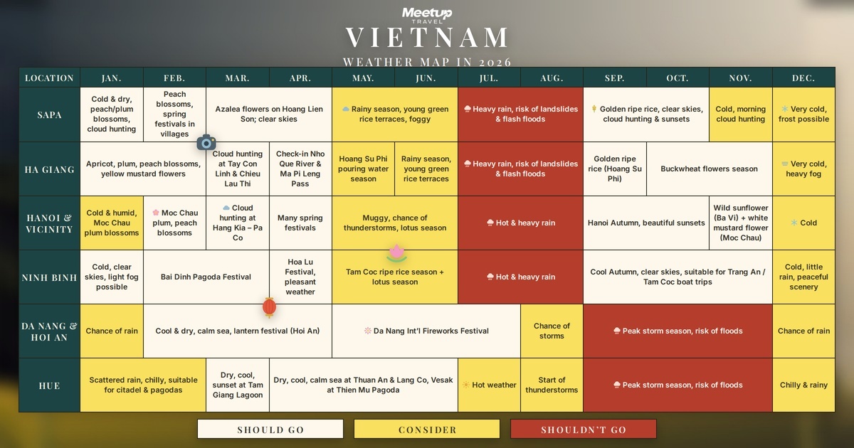
Month-by-Month Weather Table
Temperatures are typical daytime ranges rather than records, and are a planning guide, not a forecast.
Month | North (Hanoi) | Central (Da Nang) | South (HCMC) | Highlands (Da Lat) |
|---|---|---|---|---|
Jan | 13-20C, cold drizzle | 19-24C, cool, cloudy | 22-32C, dry | 14-22C, dry |
Feb | 14-21C, cold drizzle | 20-25C, cool | 23-33C, dry | 15-24C, dry |
Mar | 17-23C, clearing | 22-28C, dry | 25-34C, dry, hot | 16-25C, dry |
Apr | 21-28C, warm | 24-30C, hot | 26-35C, very hot | 17-26C, mild |
May | 25-32C, humid | 26-32C, hot | 26-34C, storms start | 18-25C, wet begins |
Jun | 27-34C, very hot | 27-34C, hot | 25-33C, afternoon storms | 17-24C, wet |
Jul | 27-34C, very hot, storm season opens | 27-34C, hot | 25-32C, afternoon storms | 17-24C, wet |
Aug | 26-33C, humid, storm risk | 26-33C, hot | 25-32C, afternoon storms | 17-24C, wet |
Sep | 25-31C, cooling, peak storm month | 25-31C, dry season ending | 25-32C, wettest month | 17-23C, wet |
Oct | 22-28C, autumn peak | 23-29C, storm and flood risk | 24-31C, wet | 16-23C, wet ending |
Nov | 19-25C, cool, clear | 21-27C, storm and flood risk | 24-31C, drying out | 15-22C, dry |
Dec | 15-21C, cold, dry | 20-25C, cool, wet | 23-31C, dry | 14-21C, dry |
Temperature of Vietnam in December: What to Expect by Region
The temperature of Vietnam in December ranges from cool winter weather in the north to warm, dry days in the south. Hanoi and the northern lowlands sit around 15-21C, the central coast around 20-25C, southern Vietnam around 23-31C, and Da Lat around 14-21C during the day.
In Hanoi and Ha Long Bay, damp air and wind can make mornings feel colder than the number suggests. Pack long trousers, a fleece, and a light windproof layer. Sa Pa and higher mountain areas are colder, especially at night, so check the local forecast before leaving Hanoi.
Hue, Da Nang, and Hoi An remain within the wetter part of their year. A light waterproof jacket and shoes that dry quickly are more useful than beachwear alone. You can still enjoy city walks and historical sites, but leave room to change outdoor plans.
Ho Chi Minh City, the Mekong Delta, and Phu Quoc are the warmest December choices. Pack breathable clothing and sun protection. From Ho Chi Minh City, a Mekong Delta day trip with transport included is an easy way to add river scenery without arranging the road and boat connections yourself. Boat schedules still depend on local conditions that day.
For a north-to-south trip, pack for two climates. A breathable base layer, fleece, and light waterproof shell will cover most situations without filling your suitcase.
North Vietnam: Hanoi, Ha Long Bay, Sapa, Ninh Binh
Best months: October-November and March-April. Skip: June-July for heat, July-September for storms, late December-February for cold drizzle.
The north has four real seasons. Summer is hot and sticky. Winter is cold, grey and wet in a slow way that Vietnamese calls mua phun, drizzle rain.
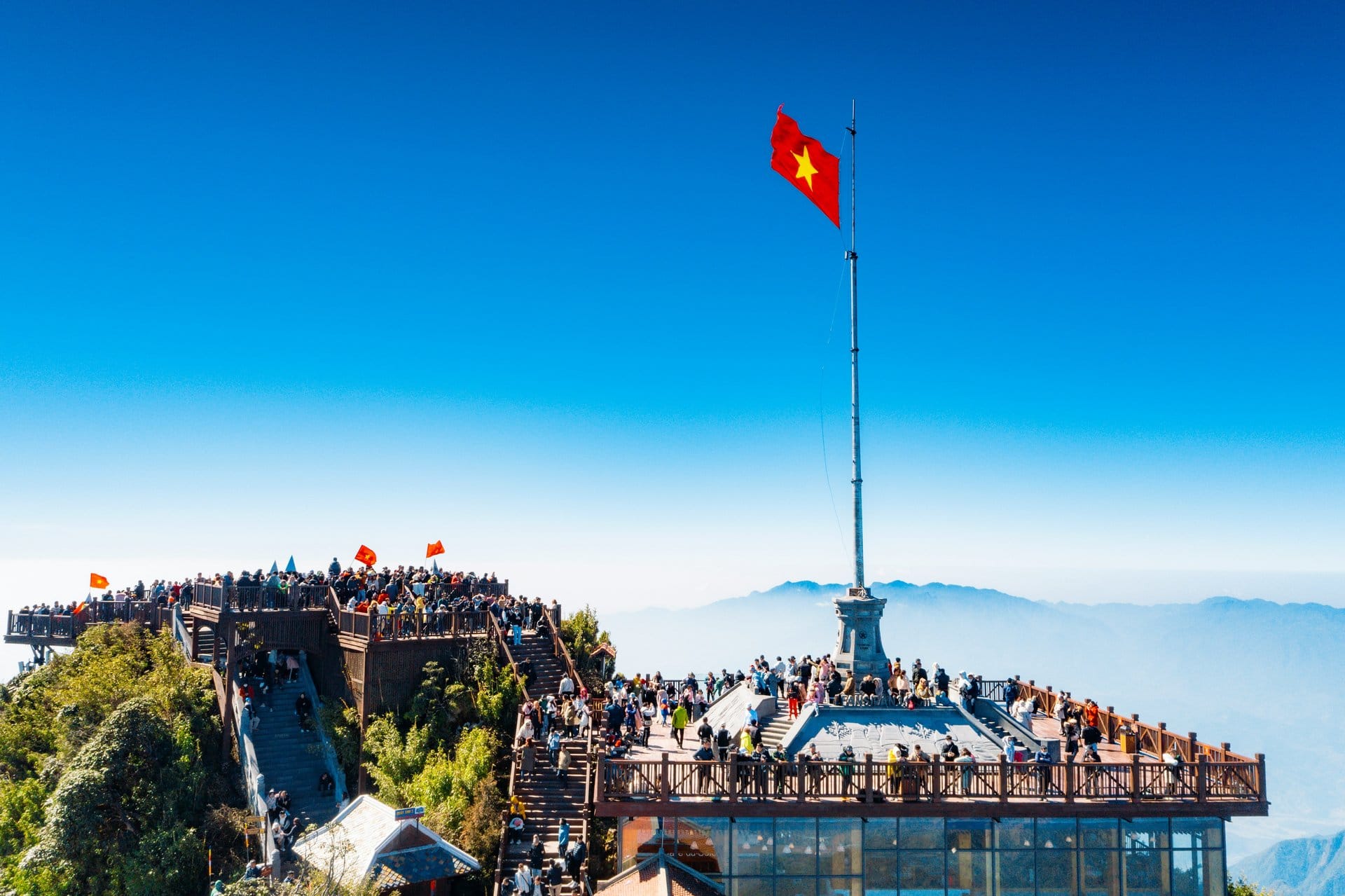
Jan-Feb: 13-20C in Hanoi. Sapa drops below 5C at night and Fansipan occasionally sees snow. Not a season for light trekking gear.
Mar-Apr: The best spring window. Warm, clear, and Sapa's flowers come out.
May-Jun: Hot and humid. Hanoi reaches the mid-30s with humidity above 80 percent. Walking outside at 2pm is punishing.
Jul-Sep: Still hot, and this is the north's storm season. Storms concentrate on the northern coast in these months, which matters if Ha Long Bay is on your list, since cruises are cancelled when the port closes.
Oct-Nov: The single best window for the north. Clear skies, dry air, 19-28C. This is the version of Hanoi and Ha Long Bay you have seen in photographs.
Dec: Cold, dry and often clear. Fine for city trips with a jacket.
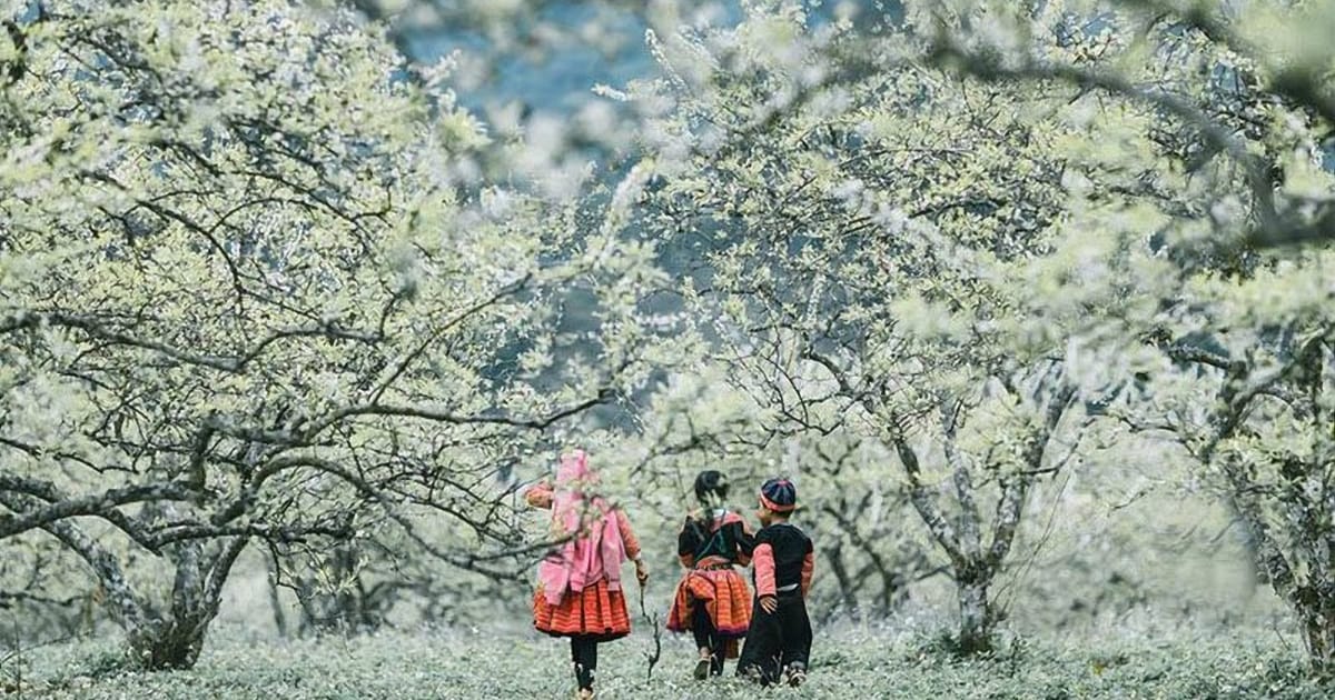
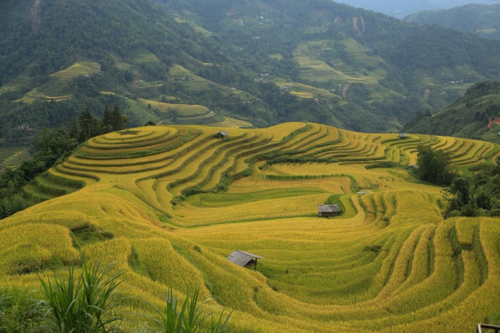
Mountain exception: Sapa, Ha Giang and Mu Cang Chai stay in the mid-20s through the summer while the lowlands cook. If you are in Vietnam in June or July, go up.
Central Coast: Hue, Hoi An, Da Nang
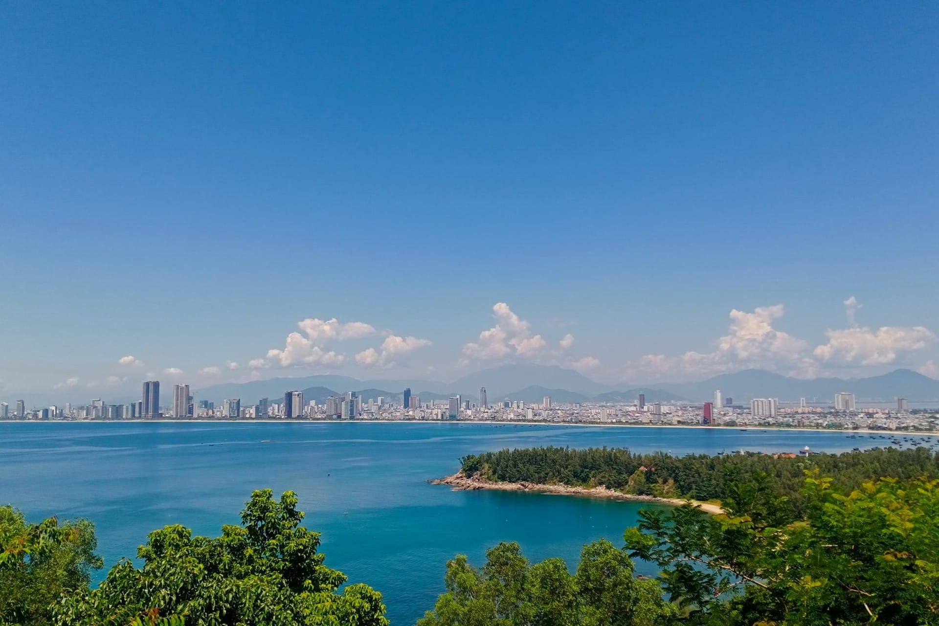
Best months: February to August, the long dry season. Skip: October-November, the peak of storm and flood risk on this coast.
Feb-Apr: Cool and dry, low to mid-20s. Sea still cool for swimming.
May-Aug: Peak beach season. 28-33C, warm water. This is when European and Australian families arrive.
Sep: Dry season ending, early storms possible.
Oct-Nov: Highest risk on this coast. Storm activity shifts to the central provinces in these two months, and Hoi An's Old Town floods in most years.
Dec-Jan: Cool, damp and grey. Not beach weather.
Do not book a non-refundable central-coast beach trip for October. Cancellation risk is real and most booking platforms will not warn you.
South Vietnam: Ho Chi Minh City, Mekong Delta, Phu Quoc
Best months: December to March. Rain in the wet season here is short and predictable. It does not ruin trips.
The south runs on two seasons, dry from roughly December to April and wet from May to November.
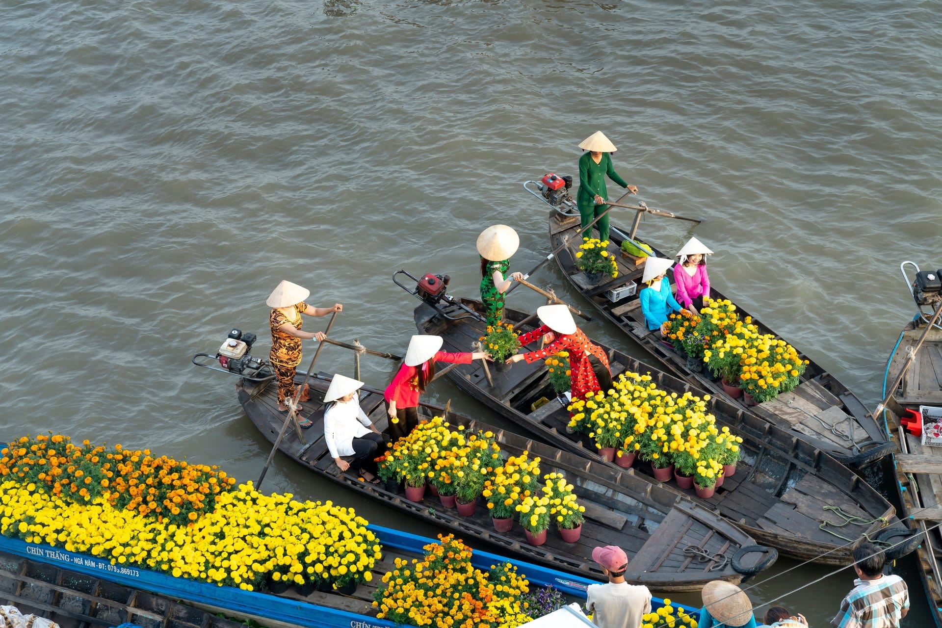
Dec-Mar: Peak dry season. 24-33C, sunny, lower humidity. Best window for Mekong Delta boats and Phu Quoc beaches.
Apr-May: Very hot before the rains break. Air quality in Ho Chi Minh City dips until the first storms clear it.
Jun-Oct: Wet season, but not the way most people picture it. Mornings are usually clear. Storms arrive between about 3pm and 6pm, fall hard for half an hour, then stop. Plan outdoor mornings and indoor afternoons.
Nov: Winding down, with some afternoon rain left.
Rates across the south are generally lower in the wet season than in the December to March peak. If you can accept an afternoon downpour, it is the better value window.
One regional caveat that catches people out on Phu Quoc: the island's east-facing beaches, including Sao Beach, get debris pushed ashore by the northeast wind between roughly November and March, which is the same stretch the weather tables call the best season. Our Sao Beach guide covers that in detail.

Central Highlands: Da Lat, Buon Ma Thuot
Best months: November to April.
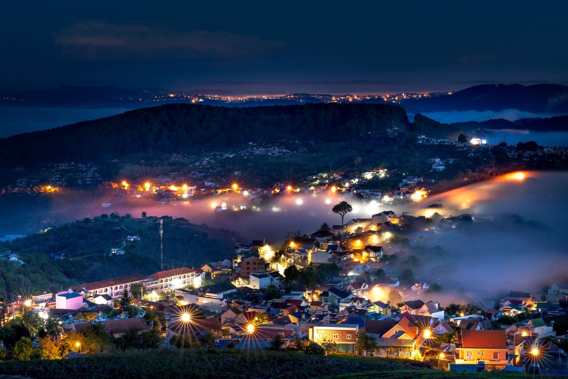
Da Lat sits at about 1,500 m and stays mild all year, roughly 15-24C. It is where people from Ho Chi Minh City go to escape the heat. The wet season here runs May to October and is heavier and longer than in the lowland south, so time this region for the dry months.
Storms: What the Numbers Actually Say
This is the part most weather guides get wrong, usually by quoting the wrong number.
Two different figures get confused. Around 11 to 13 storms and tropical depressions enter the East Sea in a typical year. Only about 4 to 6 of those make landfall or directly affect the Vietnamese mainland. Guides that tell you Vietnam is hit by a dozen storms a year are quoting the first number and describing the second.
The season moves down the coast. Storm activity concentrates on the north from July to September, then shifts to the central and southern coast in October and November. Nationally, September has historically recorded the most landfalls; October is the peak for the central coast specifically.
No region is exempt, and the north is not the safe one. Measured by density along the coastline, the stretch from Quang Ninh to Thanh Hoa in the north sees the highest storm frequency in the country and accounts for the largest share of severe storms. Measured province by province, Da Nang and Khanh Hoa record the most storms passing through, roughly one a year each. Both facts are true. The practical version is that the central coast is the riskiest place to be in October and November, and the northern coast is the riskiest place to be from July to September.
The far south, from Lam Dong down to Ca Mau, sees the least storm activity of anywhere in the country.
Planning a Multi-Region Trip
If you must pick one month for a trip covering several regions, two windows minimise the trade-offs.
Window | North | Central | South | Notes |
|---|---|---|---|---|
Mid-March to mid-April | Warming, clear | Dry and hot | Dry and hot | The tightest overlap of the year. Books out first. |
Late Oct to mid-Nov | Autumn peak | Storm and flood risk | Drying out | Excellent for the north. Keep the central-coast segment short and flexible. |
Region-first approach, which is what we recommend:
South: December to March
Central: March to August
North: October to November, or March to April
Build the trip around those windows. Do not pick a month first and force the destinations to fit around it.
For an itinerary sequenced around the seasonal risk of each segment, Meetup Travel's Vietnam itineraries are built around the weather of the month you are actually travelling.

Practical Information
Topic | Details |
|---|---|
Storm season | June to November. Roughly 11-13 storms enter the East Sea each year; about 4-6 reach or directly affect the mainland. North is most exposed July-September, central coast October-November. |
Monsoon vs storm | Different things. Monsoon means the daily afternoon storms of the southern wet season. A typhoon is an individual cyclone hitting the coast, mostly in the second half of the year. |
Rain gear | A light poncho beats an umbrella on a motorbike. Take a waterproof shell for the north's cool drizzle months. |
Air conditioning | Standard in hotels, restaurants and tourist coaches. Not in local buses or many street-food places. |
Live storm tracking | The National Center for Hydro-Meteorological Forecasting publishes warnings at nchmf.gov.vn during storm season. |
In short
Vietnam is not one weather forecast. It is four, running on their own calendars, and the storm risk moves down the coast as the year goes on.
Pick the region first and the month becomes obvious. Pick the month first and you will spend the trip apologising to at least one part of the country.
The version of Vietnam you saw in photographs was taken in a specific week, in a specific region. That week exists. Book yourself into it deliberately.