
Ha Giang loop map: full route, stops, and 3-4 day plans
The Ha Giang loop map covers roughly 350 km of paved mountain road through four areas of the far north: Quan Ba, Yen Minh, Dong Van and Meo Vac. Ha Giang province merged into Tuyen Quang Province in July 2025, but the loop, Ha Giang City and the route names on maps and with tour operators have not changed. Most riders start and finish in Ha Giang City, go clockwise, and take three or four days to do it without racing.
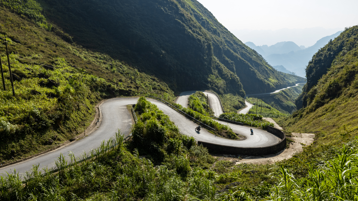
What does the Ha Giang loop map actually cover?
The core loop is a single ring, mostly on QL4C, connecting Ha Giang City to Quan Ba, Yen Minh, Dong Van and Meo Vac before returning through Du Gia. Total distance is about 350 km if you keep to the main road.
Side trips that add distance
Add side trips such as Lung Cu Flag Tower, the Sky Path viewpoint or a boat on the Nho Que River, and the total climbs to 320 to 400 km depending on your route.
Why the loop takes days, not hours
Almost all of it is paved and guardrailed on the sharp bends, but the roads still climb, drop and turn fast enough that average speed on the best sections of QL4C sits at about 30 km/h. That is why the map takes three or four days rather than one long day of riding.
Skip trying to ride the loop in one long day. Average speed on the best sections of QL4C is only about 30 km/h.
The four segments of the Ha Giang loop
The map splits into four riding segments: Ha Giang City to Quan Ba, Quan Ba to Yen Minh, Yen Minh to Dong Van via Meo Vac, and Du Gia back to Ha Giang City.
Compare the four segments
Segment | Approx distance | Riding time | Anchor stops |
|---|---|---|---|
Ha Giang City to Quan Ba | 46 km | 2 to 3 hours | Bac Sum Pass, Quan Ba Heaven Gate, Tam Son |
Quan Ba to Yen Minh | 50 km | 2 to 3 hours | Yen Minh pine forest, Can Ty valley viewpoint |
Yen Minh to Dong Van via Meo Vac | 60 to 80 km with detours | Full day | Sung La, Lung Cu Flag Tower, Dong Van Old Quarter, Ma Pi Leng Pass, Nho Que River |
Du Gia to Ha Giang City | 80 km | 3 to 4 hours | Du Gia waterfall, rice terraces |
Why Dong Van to Meo Vac needs a full day
The Dong Van to Meo Vac stretch is only about 24 km in raw distance, but the Ma Pi Leng Pass along it eats far more time than the number suggests. Plan a full riding day for this section, not a morning.
Skip judging any segment by its kilometer count. Dong Van to Meo Vac is only 24 km, but the Ma Pi Leng Pass along it needs a full day.
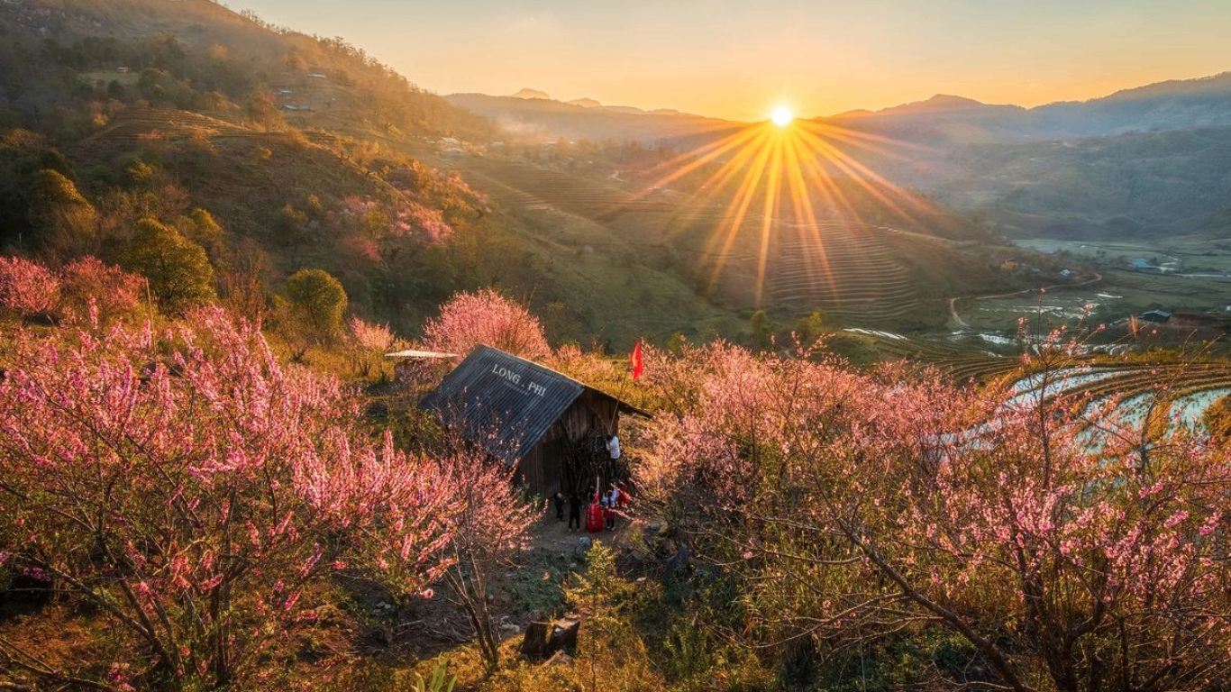
Ma Pi Leng Pass and the Nho Que River
Ma Pi Leng is the reason most people show up on the map. The pass tops out at around 1,500 m above sea level and hangs on a cliff wall above the Nho Que River, which cuts a bright turquoise line through the karst below.
Villages along the way
There is no route that reaches Ma Pi Leng and skips the villages of Can Ty, Pho Cao, Sung La and Dong Van, so treat those as part of the same day.
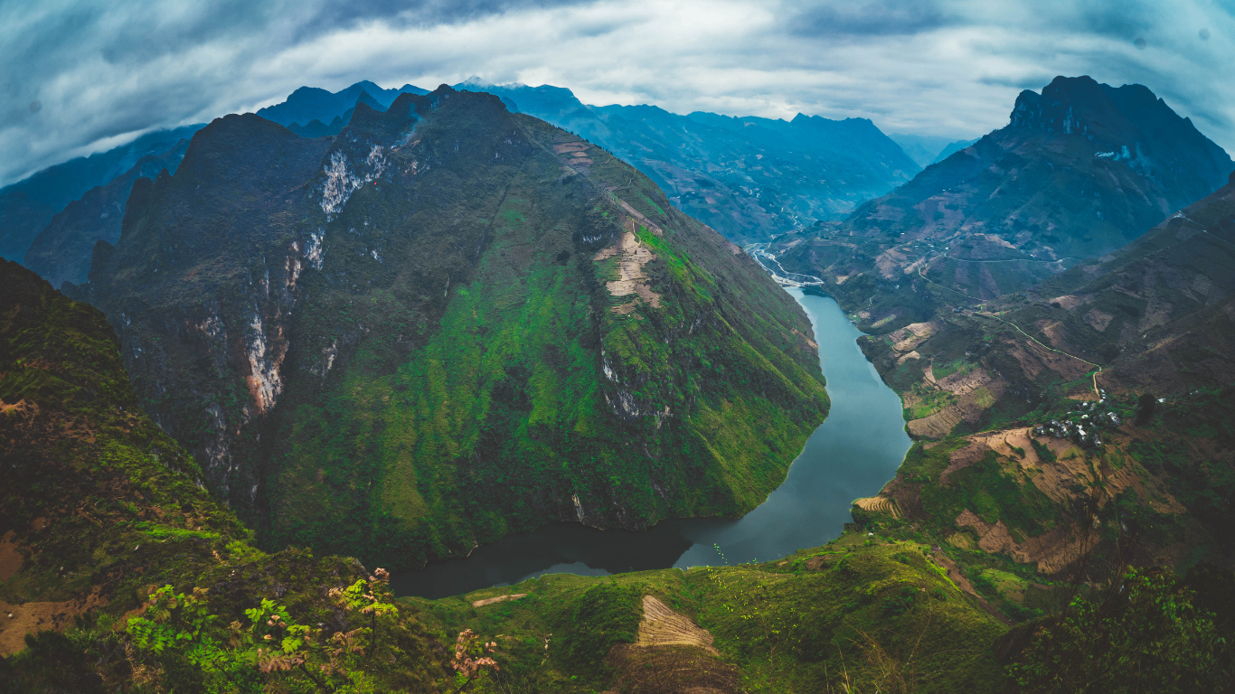
The Nho Que boat ride
The boat down the Nho Que loads at Ta Lang pier below the pass. It runs a short return route through the Tu San canyon and takes about 90 minutes end to end including the wait. It is the part of the map that rewards adding half a day, especially if you have already ridden the pass.
Skip the Nho Que boat if you are already tight on time. It adds 90 minutes on top of a full riding day, worth it only if half a day is genuinely free.
How many days do you actually need?
Three days is the honest minimum for the full loop. Four days makes the map comfortable and adds Du Gia or a second stop at Lung Cu. Two days is only for people who ride fast and skip most viewpoints, and it removes the point of coming.
Compare 3, 4 and 5 day plans
Days | Route | Fits who |
|---|---|---|
3 days, 2 nights | Day 1 Ha Giang to Yen Minh via Quan Ba. Day 2 Yen Minh to Dong Van, Lung Cu, Ma Pi Leng, sleep in Meo Vac. Day 3 back to Ha Giang City through Du Gia. | Confident riders on a tight schedule |
4 days, 3 nights | Same as above, but split the Meo Vac day. Sleep at Dong Van, ride Ma Pi Leng slowly, add the Nho Que boat, sleep at Du Gia. | Most travelers on a first visit |
5 days | Adds a second night at Dong Van for the Sunday market, or a rest day at Du Gia waterfall. | Photographers, slow travelers |
Where to sleep each night
Yen Minh is the quiet overnight stop with enough homestays and simple restaurants for one night. Dong Van is the base with the most guesthouses, cafes and traveler services on the whole loop. Meo Vac has the hillside homestays with the biggest views.
Skip the two-day version unless you are a confident, fast rider. It means skipping most viewpoints along the way, the actual point of riding this loop.

Do you need a permit or a license to ride?
Two documents matter for riding yourself, and neither is optional in 2026: a Border Area Permit for the zones the loop passes, and an International Driving Permit if you ride rather than sit pillion.
Border Area Permit
Border Area Permit. The loop passes through the border areas of Quan Ba, Yen Minh, Dong Van and Meo Vac, and each of them technically sits inside a border zone. Since 1 June 2026 every foreign traveler needs this permit, even when only passing through. It costs about 250,000 VND (roughly US$9-10) and is issued in Ha Giang City with your passport. Most hostels handle the paperwork for guests. Some guided tours include it in the price.
International Driving Permit
International Driving Permit. Vietnam police run checkpoints along the loop, more often since border-zone enforcement tightened in June 2026, and can confiscate motorbikes from foreign riders without a valid IDP. A home country license alone is not enough. You need a 1968 Vienna Convention IDP with the motorcycle category endorsed, plus your original national license.
Skip riding yourself without sorting both documents first. Checkpoints along the loop can confiscate motorbikes from foreign riders without a valid IDP, only easy rider passengers get to skip the paperwork.
When to ride the Ha Giang loop
The map is open year round, but riding conditions change by month: blossom in spring, rain risk in summer, harvest color in autumn, cold in winter. See our Vietnam seasonal guide for how the north compares to the rest of the country.
March to early May: blossom season
Peach and plum blossom around Sung La and Pho Cao, mild days, cool nights. The most photogenic window.
Late May to mid-October: rain, then harvest
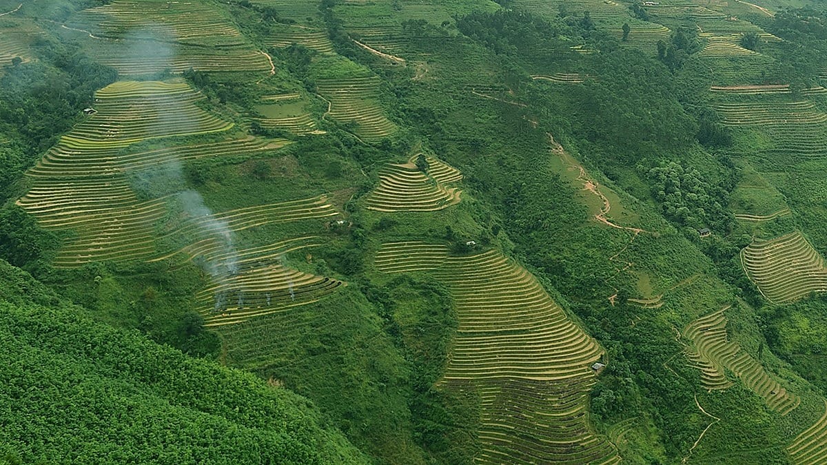
Late May to August brings green terraces and afternoon rain. Landslides and rockfalls are more common after prolonged downpours, and rain can turn the pass corners slick. September to mid-October brings rice harvest colours around Hoang Su Phi, with weather that is usually stable but variable between valleys.
November to February: cold and dry
Cold, dry mornings with occasional mist. Buckwheat blooms in November. Passes stay open but pack real winter layers.
Skip the late May to August window if landslide risk worries you. Rockfalls are more common after prolonged downpours, and rain can turn the pass corners slick.

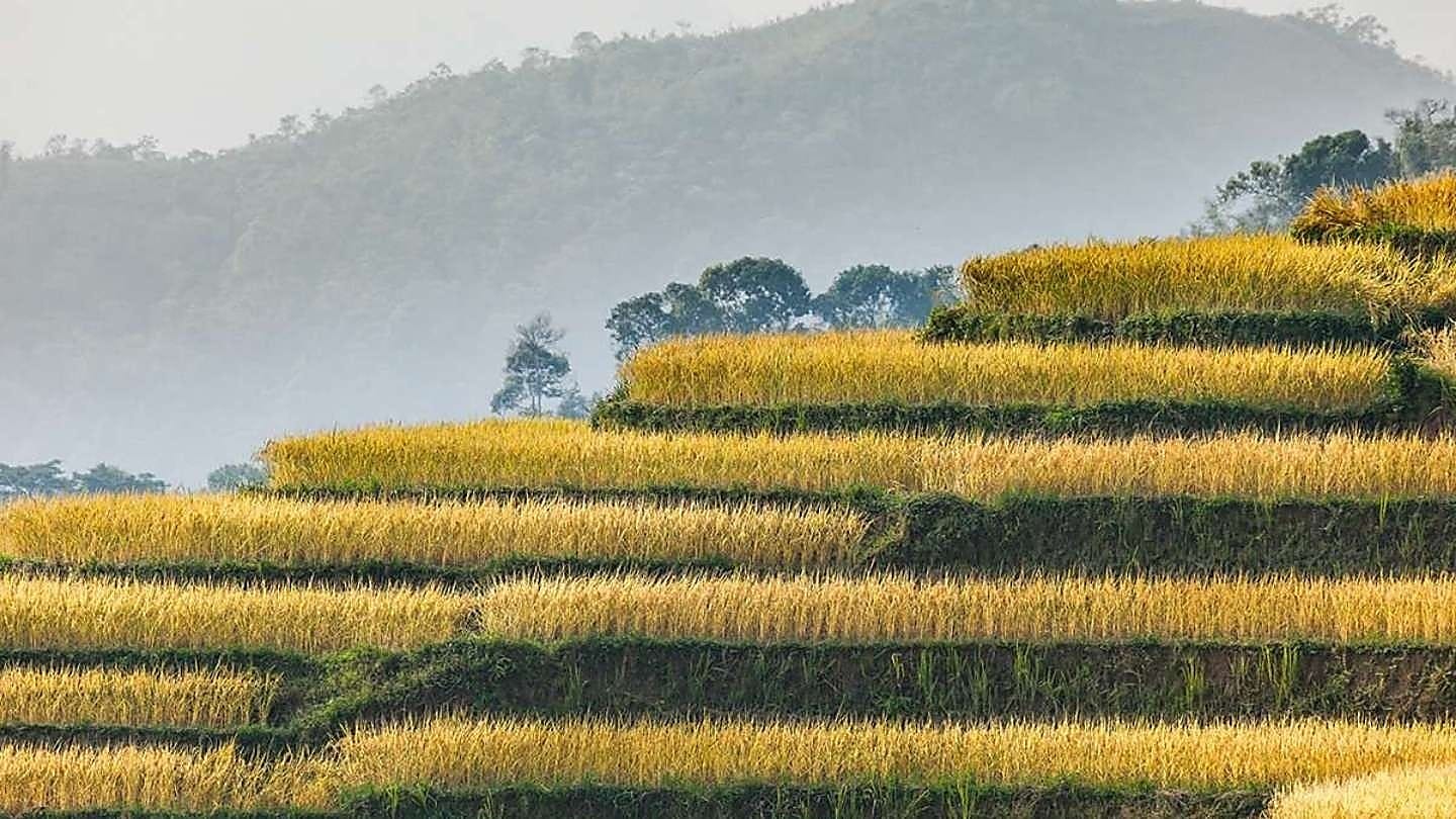
How to get to Ha Giang City from Hanoi
The loop starts in Ha Giang City. Everyone who rides it first has to reach Ha Giang City, and that transfer is not on any loop map. Three options handle almost all of the traffic.
Sleeper bus and limousine van
Sleeper bus: 6 to 8 hours, 200,000 to 350,000 VND. Departs My Dinh Station, mostly overnight. Cheapest option, arrives before sunrise. Limousine van: 5 to 6 hours, 350,000 to 500,000 VND. Nine seats, softer suspension, hotel pickup in the Old Quarter. Best value for the winding road.
VIP cabin bus
6 to 7 hours, 400,000 to 550,000 VND. Private pods, more expensive, worth it on the winding sections if you plan to sleep.
Skip self-driving a car from Hanoi. You cannot use it on the mountain part of the loop, and parking in Ha Giang City is a chore.
Self-ride, easy rider, or guided jeep?
Self-ride, easy rider, or guided jeep, the right choice depends on your own riding experience, not on the map.
Self-ride
Self-ride works if you have real motorbike experience on winding roads, an IDP, and you are comfortable with wet corners. It is the freest way to ride the loop and the easiest way to get hurt if you are learning here.
Easy rider
Easy rider means you sit on the back and a local guide handles the bike. It is the most common choice for first-time visitors and the safest. Group easy rider trips run three or four days and average around US$180 to US$260 per person including permits, homestays and food.
Guided jeep or car
Guided jeep or car suits travelers who do not want a bike at all. It costs more, misses the wind and the smell of pine, but keeps you dry and lets you carry proper luggage.
Skip a tight schedule with no slack. Book a wet weather day into the plan, the mountain does not care about yours.
Plan your ride around the map
The Ha Giang loop rewards slowing down. Read the map as a four day journey with weather buffers, not a race between towns. Where you go next, and when, matters as much as the loop itself.
Fitting the loop into a longer trip
For where the loop fits inside a longer trip through the north, see our guide to the best places to visit in Vietnam, and check our Vietnam weather by month guide before you pick the ride window.
Combining Ha Giang with Sapa
If you want Sapa and the loop in one trip, our Sapa and Ha Giang loop 6-day tour covers Fansipan by cable car, the Dong Van Karst Plateau, Ma Pi Leng Pass, and a Nho Que canyon boat ride with a local rider.
Skip adding Sapa onto a loop trip shorter than four days. The 6-day tour already runs Fansipan, the Dong Van plateau and Ma Pi Leng back to back, squeezing it into less time just rushes all three.
Distances, permit prices and bus fares checked September 2026 against the Vietnam Tourism loop guide and current Ha Giang operator listings. Border area permit and IDP requirements checked against Vietnamese police guidance in September 2026. Prices and route conditions change; confirm at the hostel counter in Ha Giang City before you set off.
Grace is a Meetup Travel local expert, born and raised in Vietnam, who prefers the guided jeep and premium homestay routes through the far north and knows which one keeps you dry without missing the views that make the loop worth riding.